Extracting Satellite Imagery from Space

IMAGES FROM NOAA GOES-16
This is how I extracted images from a NOAA satellite called GOES-16, formerly known as GOES-R.
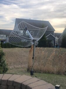
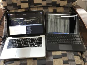
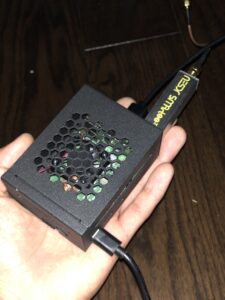
I built a raspberry pi, got a hold of an RTL-SDR (software defined radio), installed the necessary tools through the terminal to analyze/decode the signals, and lastly bought a parabolic satellite dish. Here is the hardware used and results: